
Explore Doomadgee
About Doomadgee
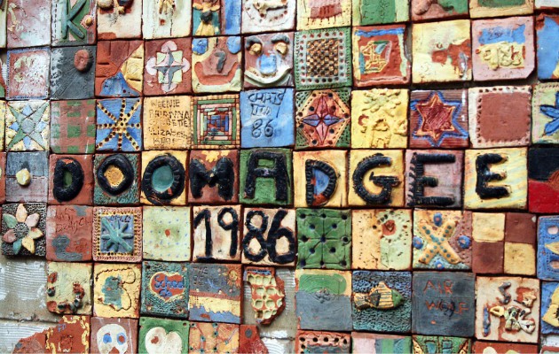
Doomadgee, a township of around 1300 people, lies alongside the Nicholson River, one of the permanent freshwater rivers that flow from the ranges behind Lawn Hill National Park. Doomadgee is the first (or last) township on the Queensland section of the Savannah Way, and is only 140 km from the Northern Territory border. The Doomadgee community is keen to develop its tourism industry, and to showcase its strong and vibrant culture. Doomadgee provides access to the coast, freshwater rivers and Lawn Hill National Park.
The Doomadgee community is comprised mainly of descendants of the Waanyi and Gangalidda peoples. The township offers some services and retail items to travellers, including a store, roadhouse and bakery. Travelers should check opening hours of the roadhouse if they intend buying fuel at Doomadgee, and be aware of alcohol restrictions (see below).
The Aboriginal mission of Doomadgee was originally established on the coast in 1931. It was established by the Christian Brethren after the local police sergeant in Burketown had suggested that the local Aboriginal people, predominantly the Gangalidda people, would be happier if they were removed from the fringes of the township.
The settlement was moved inland to its present location after a cyclone in 1936 made conditions on the coast impossible. The coastal site had never been satisfactory as it lacked a good and reliable water supply. The present site was settled in 1937 with the building of log hostels and a school.
In the early 1980s the government moved to establish self administration at the mission. The Christian Brethren workers, most of whom were working as school teachers, helped to establish the Aboriginal council and for a number of years worked in conjunction with the local elders to ensure that there was a smooth transition of power. In 1988 the last of the mission workers moved out. Administration of the town is now through the Doomadgee Shire Council.
Of particular interest in the town are the two old dormitories. To the south of the Doomadgee Shire Council offices, immediately next door to it, is the old Girls Dormitory and to the north (over the road) is the Boys Dormitory. In the 1930s and 1940s the brethren ran the town along strict Christian lines and the local children weren’t allowed to make contact with each other.
Requests to camp within the Shire may be considered, but requests must be made to the Council, who can direct the request to the appropriate traditional owners and provide advice on protocols. Permits from Council are required for visitors wishing to fish on the reserve.
Under the Queensland Government’s Alcohol Management Plan for Doomadgee, there are limits to alcohol that may be taken into the community – currently, 2 x 30 can cartons of light or mid-strength beer, no wine and no spirits. A ‘bona fide traveller’ exemption applies for tourists who wish to use the Doomadgee Roadhouse. That is, you can have more than the alcohol limit in your vehicle and still use the Roadhouse. However, the ‘bona fide traveller’ exemption does not apply if you wish to visit the larger retail area of Doomadgee where the supermarket and bakery are located.
LOCATION
- 93 km West of Burketown
- 1035 km West of Cairns
- 104 km east of Northern Territory Border
AIRSTRIP
- Latitude 17° 56′ South
- Longitude 138° 49′ East
FACILITIES
Doomadgee Aboriginal Community Council Phone: (07) 4745 8351 (07) 4745 8351
Doomadgee Guest House: Phone (07) 4745 8235 (07) 4745 8235
Doomadgee Hospital: Phone (07)4745 8800
Doomadgee Post Office: Phone (07) 4745 8351 (07) 4745 8351
Doomadgee Retail Store: Phone (07) 4745 8265 (07) 4745 8265 – EFTPOS available
Doomadgee Roadhouse: Phone (07) 4745 8298 (07) 4745 8298
GPS
-17.937003
138.831159

